Rainy season, lasting from the end of June to September, is dominated by the humid southwest summer monsoon, which slowly sweeps across the country beginning late May, with July the rainiest month, and temperatures cooling from the heights of a long Indian summer. Average temperatures in the region range from 18 -32 °C (64-90 °F), largely depending on elevation.
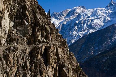
The vagaries of the monsoon in Northern India are hard to predict and so is the amount of rainfall, which varies radically from region to region. In Srinagar in the state of Kashmir and Jammu, the elevation and far northerly location means that it misses the monsoon altogether, and in July precipitation is a low-ish 40mm per day. Delhi brings a moderate to heavy 120 mm, while the state of Meghalaya (‘the abode of clouds’) to the far northeast is the wettest place on earth, many of its towns averaging over 500 mm rainfall per day. As is always the case in India, making appropriate plans for the weather and terrain that suits you is key.
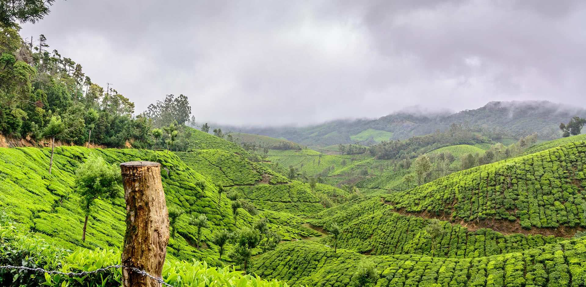
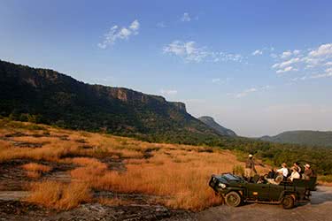
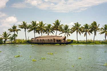
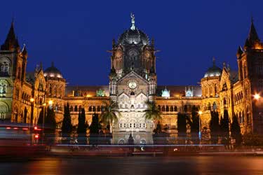
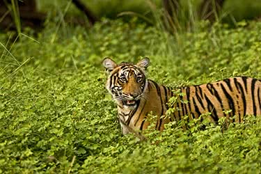
South India typically receives the majority of the rainfall. The southwest state of Kerala is usually the first to feel the monsoon with rainfall regularly hitting over 600 mm per day over the monsoon months with the temperature hitting around 30 °C (86 °F) each day. By September the rains begin to wane and the state starts to receive rainfall around 250 mm. Mumbai, India's second city, becomes one of India's wettest cities, regularly receiving over 500 mm of precipitation amid temperatures of 34 °C (93 °F). It's a time when much of the nature comes alive across India as the large swaths of the country turn lush green. The Western Ghats mountain range, running parallel to India's west coast, and are a Unesco world heritage site offering stunning biodiversity, including some of the rarest mammal in the world, such as the lion-tailed macaque, Bengal Tiger, Indian Elephant and Indian leopard. The eastern Western Ghats lie in a rain shadow and receive far less rain than the western side, a rare drier area at this time.